Creating a New Map from Old Data
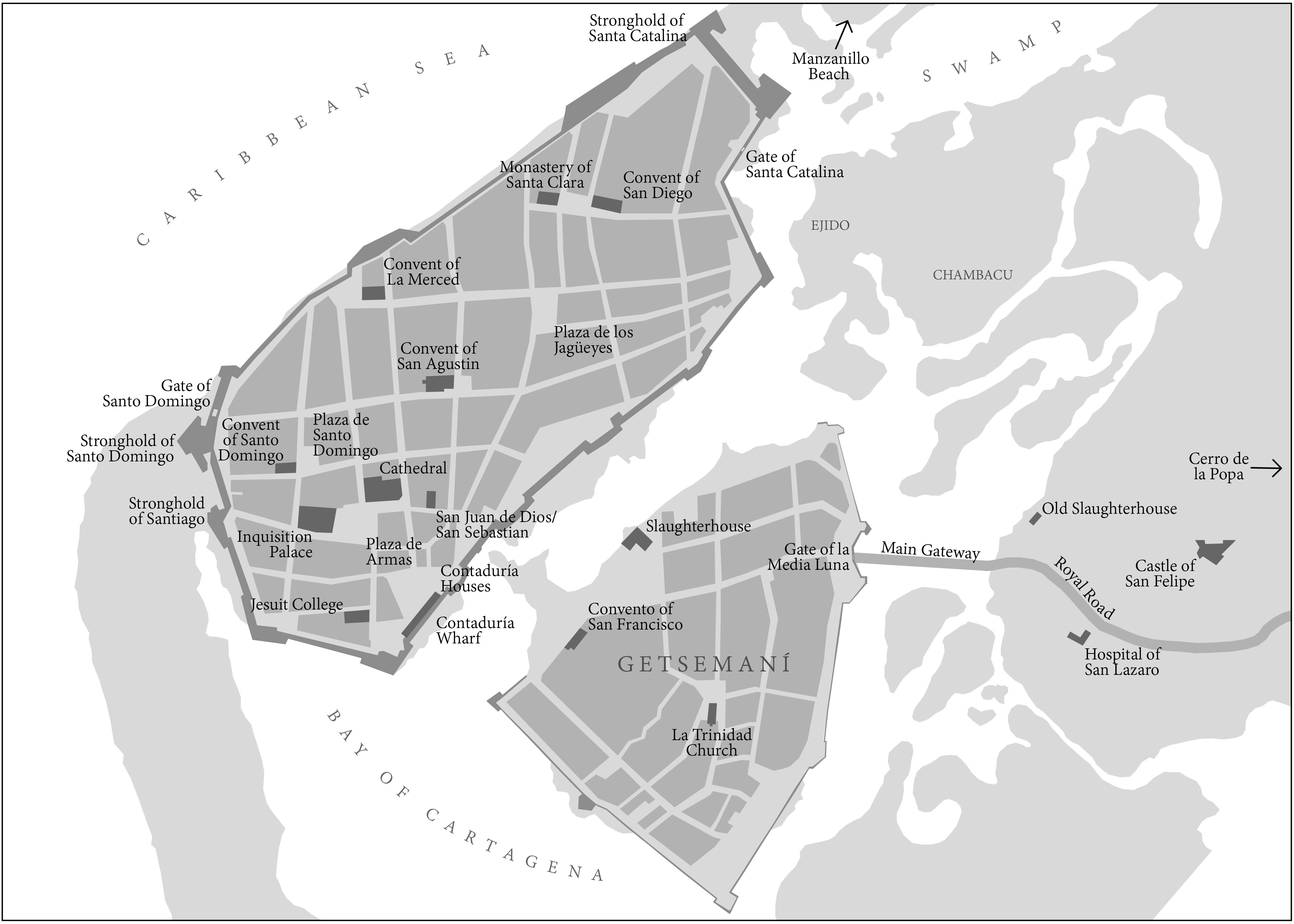
This is a particularly interesting project that I worked on through the UW Cartography Lab, for a book on Caribbean History. My task was to create a modern map of 17th century Cartagena. In order to do this I had to georeference a 17th century map. Since the coastline and street grid has changed over time, I used current OSM data to shape the map into a 21st-century-level-accuracy representation and digitized it from there.

