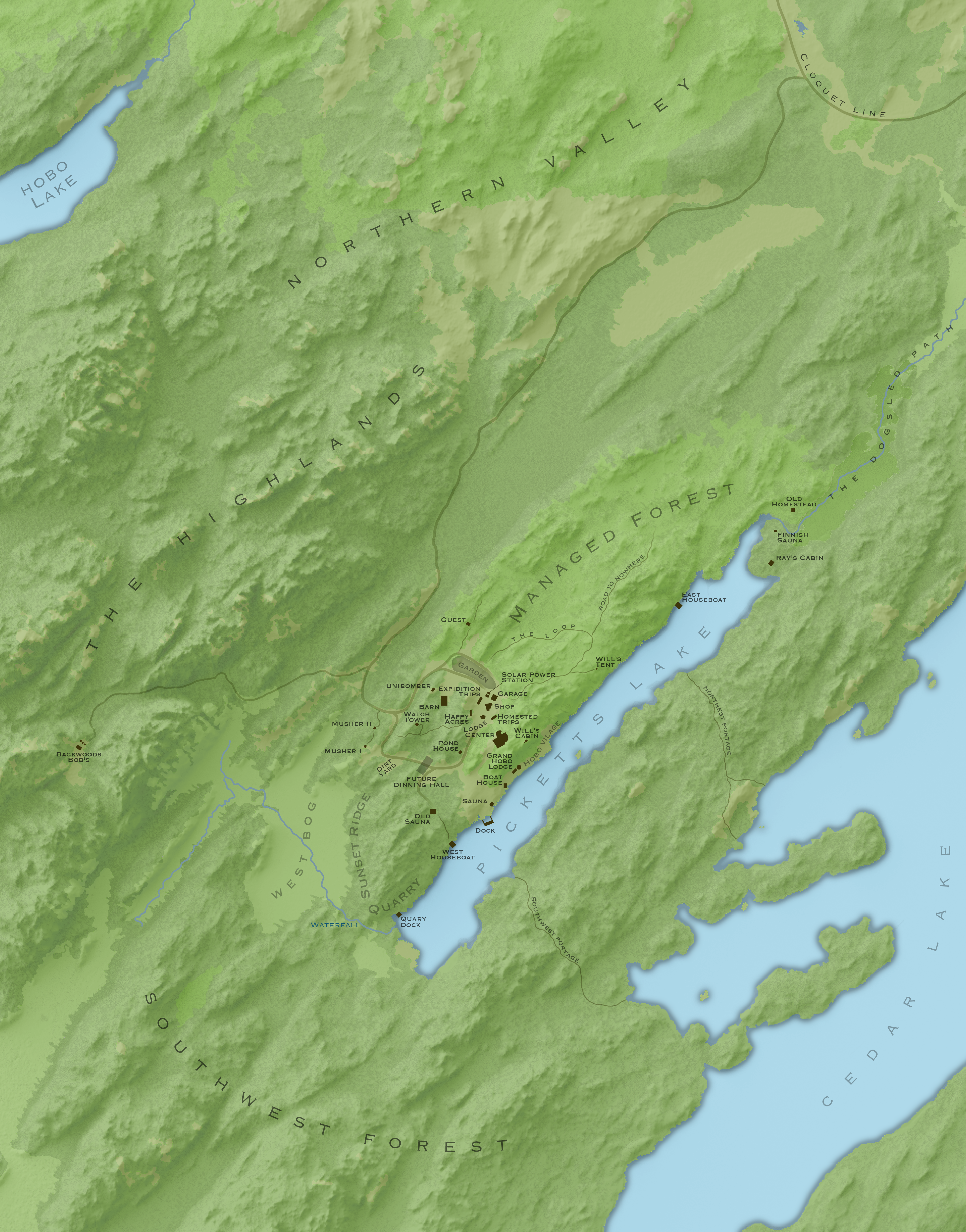
Map for Steger Wilderness Center
Ths is a map that I made for Will Steger, the arctic explorer, of his homestead/wilderness center in Ely, MN. Because it's such a remote location, I collected my own vector data with a GPS and raster data by scanning and digitizing aerial imagery. I also created a shaded relief with 1m DEM using Blender and Photoshop. Note: This map is fairly large; labels may be hard to read at your current resolution.
